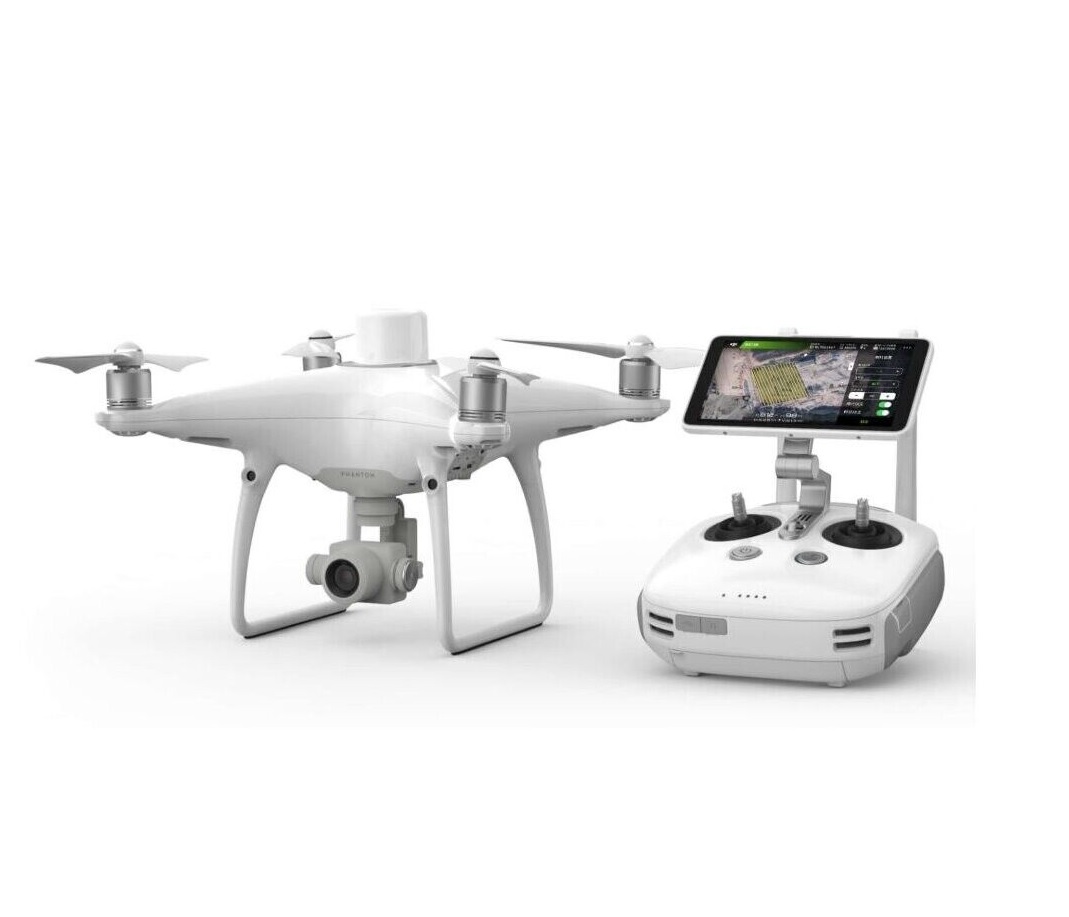
Professional surveying, geo mapping and asset inspection are dynamic processes, and the base for many engineering projects. The Phantom 4 Pro brings several improvements to the surveying industry by capturing data faster to generate accurate orthophotos, 3D models and point clouds in high density.
Efficient flight planning simplifies parameters essential for professional photogrammetry. UAV surveying has been proven to be faster, safer and more cost effective than traditional survey, making it the perfect addition to the traditional surveying equipment portfolio.
- Phantom 4 Pro improves efficiency:
- Faster completion of project cheers to lesser set-ups
- High resolution and accuracy
- Brings survey from the site to the office
- Captures and stores information of a place at a specific time